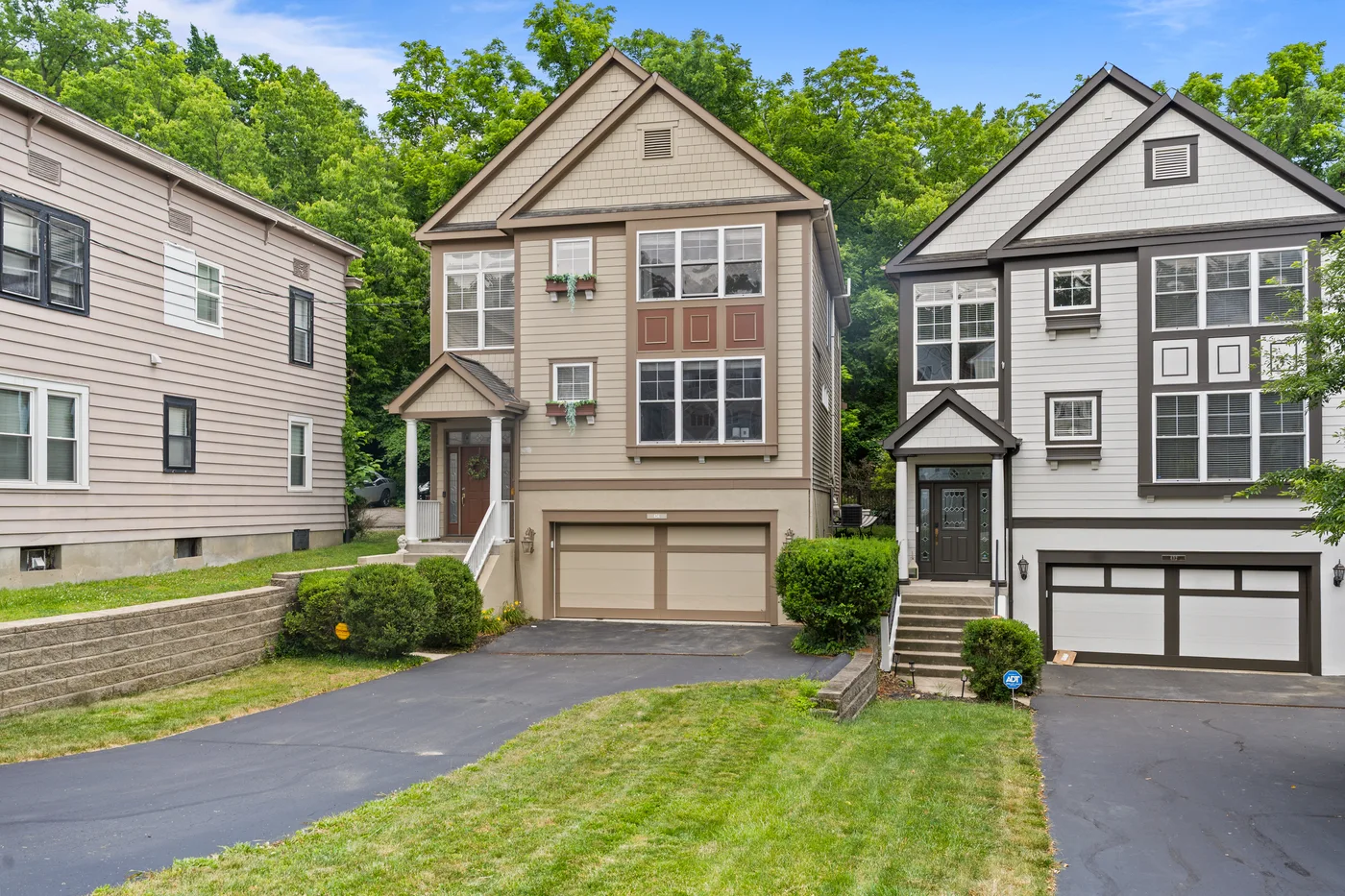
MLS Photo Package
From $199
Best for simple listings that need clean, fast MLS-ready photos.
Aerial listing photography
Real estate drone photography in Cincinnati from 513Shutter adds the aerial context ground photos cannot, lot size, street position, proximity to parks or water, neighborhood scale, and exterior presence that make buyers understand why a specific property is worth seeing in person. Some listings do not fully explain themselves at ground level: large lots, corner positions, river frontage, and new construction sites with community context all photograph better from the air.
Text (513) 437-1915Agents should not have to coordinate photos, drone, video, tours, floor plans, and social content across multiple vendors. These pages are built around booking the right media stack for the property.
Aerial exterior photos from multiple angles
Lot size and boundary context
Neighborhood and location proximity shots
Drone photos for new construction progress
Luxury and commercial aerial coverage
Delivered in MLS and web-ready formats
Start simple for MLS-only listings, or bundle the media buyers and sellers expect for premium launches.
From $199
Best for simple listings that need clean, fast MLS-ready photos.
$399-$499
Photos plus a key upgrade such as drone, floor plan, or social teaser.
$699-$899
Photos, drone, video, floor plan, 360 tour, and social reels.
$1,200+
Full premium media kit for luxury, acreage, and signature listings.
Pick photos only, listing launch, premium media, or luxury kit.
Share address, square footage, list date, access notes, and add-ons.
We capture the photo, drone, video, 360, and floor plan assets in your package.
Download files through a simple gallery link with web and MLS-ready versions.
Drone matters most for large lots (quarter acre or more), corner or cul-de-sac positioning, river or lake views, proximity to parks or amenities, luxury listings, new construction, and any property where the lot or location is part of the value.
Drone stills are included in the Listing Launch Package ($399–$499) and all premium packages. As a standalone add-on, drone photography can be requested with any base package. Text (513) 437-1915 for current add-on pricing.
Drone flights are weather-dependent. If conditions are not safe on shoot day, drone will be rescheduled for the earliest available window. We will communicate this before and during the shoot.
Yes: and that is exactly how most agents use it. Ground-level interior and exterior photos plus aerial drone photos all come back in the same gallery link for one-click upload.
Explore our work, compare packages, and get your listing ready before the shoot.
See full sample property photo sets from real Cincinnati listing shoots.
Explore examples →Compare MLS photo, Listing Launch, Premium Media, and Luxury Listing Kit options.
See all packages →A printable checklist that helps sellers get every room shoot-ready before the appointment.
Download checklist → CompareNeed stills, video, or both? See which fits your listing.
See the comparison →FAA-certified aerial shots that showcase the lot, neighborhood, and exterior from above.
See drone services →Interactive walkthroughs buyers can explore room by room on Zillow before booking a showing.
See Zillow 3D tours →2D and 3D floor plans that give buyers a clear picture of the layout and room flow.
See floor plans →Basic, Standard, Deluxe, and Premium 3D tiers, starting at $99 per plan.
Compare tiers →Digital furniture and décor added to empty rooms so buyers see the potential, not blank walls.
See virtual staging →Turn any daytime exterior into a warm evening listing image, no second shoot needed.
See virtual twilight →Text the property address and target list date, or schedule a shoot online.